I feel that I have a decent sense of geography but I’m certainly no expert. With the internet at our fingertips, it’s so easy to pull up a map when needed.
Just about any time that I book a flight or am in the process of planning a trip, I’ll pull up a map to see what’s close by. Add in a little research with Google Maps and you might find yourself a little side-trip or a completely different itinerary.
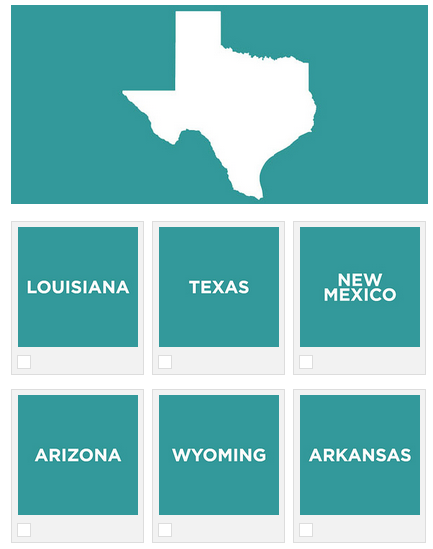
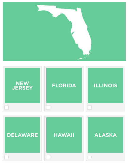
Buzzfeed posted a fun quiz last month. The topic was something that I didn’t expect to do well with- Can You Identify The U.S. States By Their Outlines?
The quiz is made up of 15 multiple choice questions or should I say outlines.
Check out a sample of the outlines above & below.
So how did I do?
Like expected, I didn’t do so well. From the 7 that I got right, I was only sure of 4 of the states outlines. My 3 other correct answers I credit with being educated guesses!
If I was looking at an empty U.S. map, I think that I’d do a bit better than just identifying the states by their outlines. But then again you never know.
If you’re interested in testing your geography skills, click HERE to take the Buzzfeed quiz.


I got 13/15. I’ll take it :p
Very good!
Brian & Joey- You guys are good! 🙂
Those satellite images are tricky! I’m more of an aisle kind of guy!
Got 15 out of 15! However, the hardest one, in my opinion, was choosing between Colorado, North Dakota, and Wyoming (which, to me — are just rectangular shaped states.)
I got 15 out of 15. That was a piece of cake…
…now — if you really want a challenge — take this test which I devised back in September of 2013 at my other weblog:
http://first2board.com/whatsyourpoint/2013/09/12/american-cities-from-the-air-how-well-can-your-recognize-them/
I may just create another one of those quizzes…